Reservoir Shore Erosion Processes and Predictive Modelling: A 30-Year Review
Jason Cosford & Lynden Penner, 2025

Permafrost assessment for the Northern Road Link Project, Ontario
Jason Cosford & Lynden Penner, 2024

Webequie First Nation Supply Road: Terrain Analysis and Routing for the First Indigenous-Led Environmental Assessment in Ontario
Jason Cosford & Lynden Penner, 2020

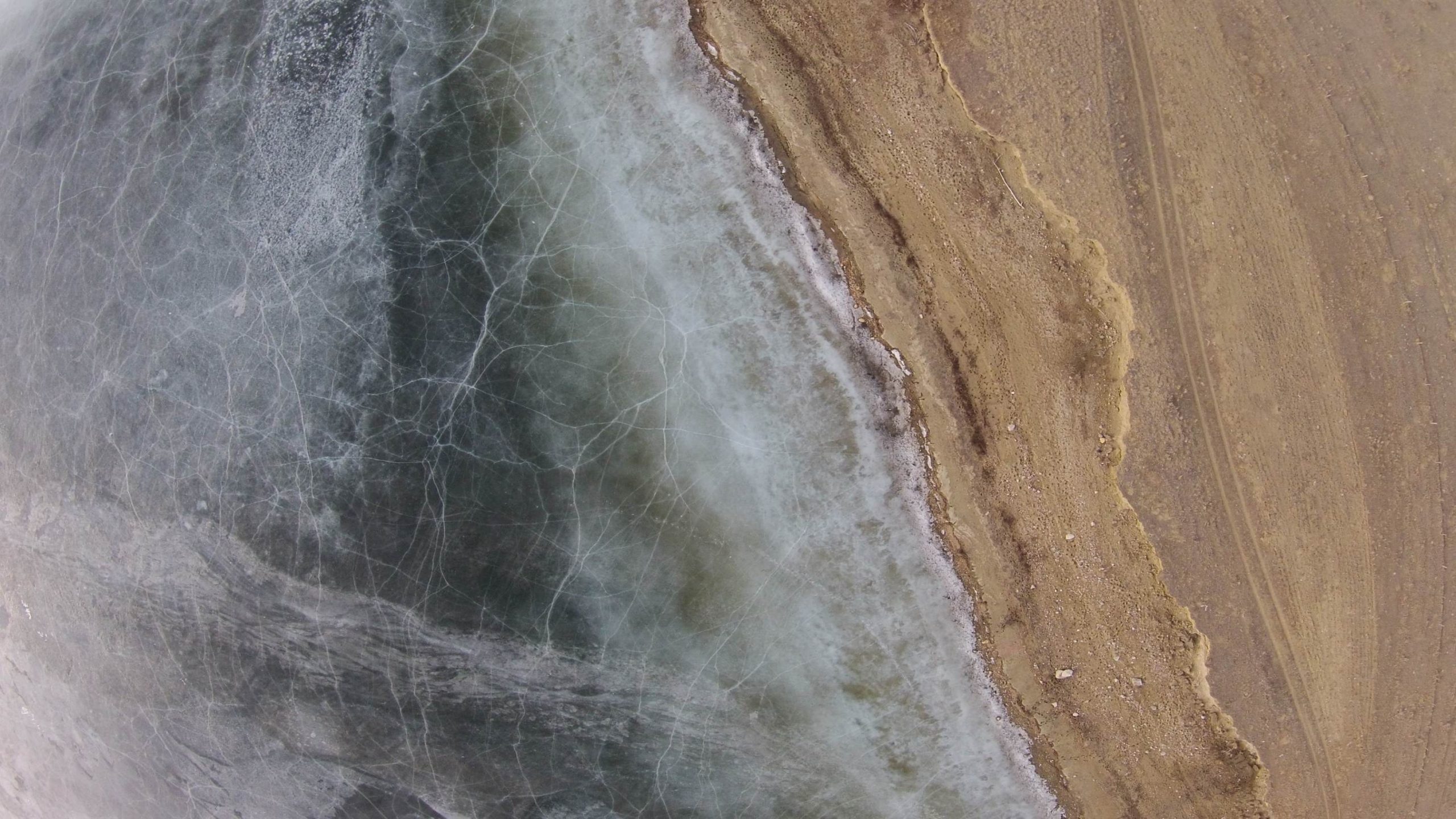
Characteristics of Nearshore Sedimentation from Coring in Stephens Lake, Manitoba, a 35-year old Hydroelectric Reservoir
Jason Cosford, Lynden Penner, Paul Glaser (University of Minnesota), Marc St. Laurent (Manitoba Hydro), 2013

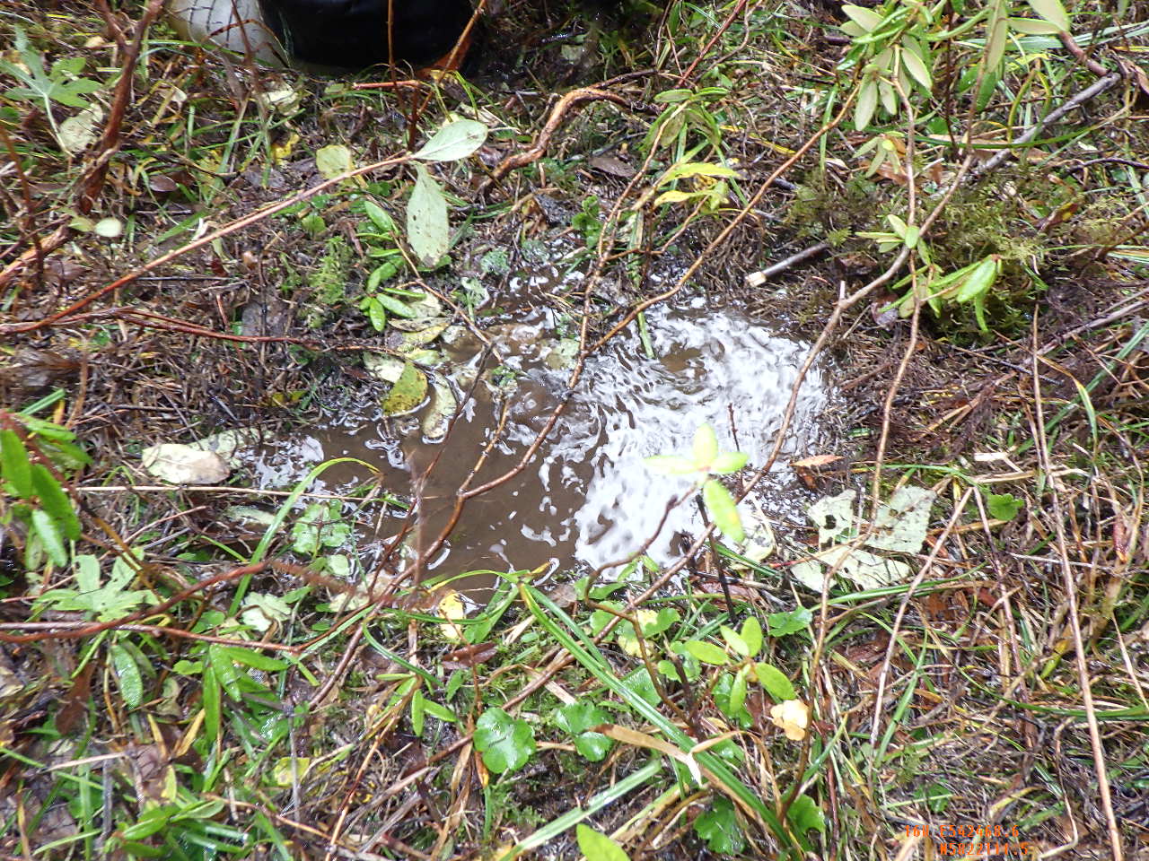
A slope failure caused by drainage cutoff through the advancment of seasonal frost, Hudson Bay Lowland
D.P. van Zeyl, L.A. Penner & R.A. Halim (KGS Acres Ltd.), 2013

Validation of a GIS-Based Shore Erosion Model Based on Historical Erosion Rates in Two Northern Manitoba Hydroelectric Reservoirs
A.L. Torgunrud, J.I. Cosford, L.A. Penner, H. Ahmari (Manitoba Hydro), 2012

Computer-assisted 3D terrain analysis using high-resolution imagery and digital elevation data
T.A.M. Zimmer & L.A. Penner, 2010

Geological and Geotechnical Characteristics of Two Prospective Wind Turbine Development Sites in Southwestern Saskatchewan, Canada
L.A. Penner & Tim Adelman (GE Ground Engineering Ltd.), 2006

Evidence Linking Surface Lineaments and Deep-Seated Structural Features in the Williston Basin
L.A. Penner & J.I. Cosford, 2006

Is the Geosphere secure? Assessing the presence of deep-penetrating faults in the IEA Weyburn CO2 study area, SE Saskatchewan
J.W. Pierce & S.A. Goussev (GEDCO), Z. Hajnal, B. Pandit, S. Sule & J. Closson (Univ. of SK), L.A. Penner & J.I. Cosford, 2004

Using integrated remote sensing and GIS technology to model and project shoreline erosion around Wuskwatim Lake, Manitoba
T.A.M. Zimmer, L.A. Penner, & G.N. Cook (Manitoba Hydro), 2004

Geological, Geotechnical and Hydrogeological Setting of a Gas Pipeline Failure near Brandon, Manitoba
L.A. Penner, George Mollard, Micheal Holm (AMEC), Robert Sutherby (TransCanada PipeLines Ltd.), 2003


A Numerical Model for Predicting Shore Erosion Impacts Around Lakes and Reservoirs
L.A. Penner & R.G. Boals (Water Survey of Canada), 2000

"FOR NOW WE SEE AS THROUGH A GLASS DARKLY - II" Historic trends in dryland salinity point to future expectations under irrigation.
D. Brook Harker (PFRA), L.A. Penner, W.R. Harron (PFRA), & R.C. Wood (PFRA), 1995

"FOR NOW WE SEE AS THROUGH A GLASS DARKLY - I" Historic trends in dryland salinity point to future expectations under irrigation.
D. Brook Harker (PFRA), L.A. Penner, W.R. Harron (PFRA), & R.C. Wood (PFRA), 1995


Modelling the Shore Erosion Process for Predicting Bank Recession Rates Around Canadian Prairie and Northern Permafrost-Affected Lakes and Reservoirs
L.A. Penner, J.D. Mollard, & P. Stokke (Manitoba Hydra), 1992

Correlated Photolineament and Geoscience Data on Eight Petroleum and Potash Study Projects in Southern Saskatchewan
L.A. Penner & J.D. Mollard, 1991


Combined Remote Sensing and Surface Geochemical Survey in a Drift-Covered Area in Southeastern Saskatchewan
J.D. Mollard, L.A. Penner & R.A. Hodgson (RAH Geological Consulting Services), 1988

Predicting Settlement at a Damsite on a Tunnel Valley Deposit in Alberta
J.D. Mollard & J.E. McClung, 1986

Erosional Processes and Sediment Yield in the Upper Oldman River Basin, Alberta, Canada
J.D. Mollard & C.R. Neill, 1982

Development of Airborne and Satellite Remote Sensing Applications
J.D. Mollard, 1981


Earthflow in the Grondines and Trois Rivires areas, Quebec
J.D. Mollard & G.T. Hughes, 1972


Photo Interpretation in Prospecting for Granular Construction Materials
J.D. Mollard, 1962


Photo-interpretation shows Increasing Usefulness
J.D. Mollard, 1961

Airphoto Interpretations in Municipal Engineering
J.D. Mollard & H.E. Dishaw, 1960

A Bird's Eye View of Construction Planning
J.D. Mollard, 1960


How to Use Aerial Photos in Pipelining
J.D. Mollard, 1959

Airphoto Interpretation applied to Highway Engineering in Western Canada
J.D. Mollard & H.E. Dishaw, 1958


Photo-interpretation of Transported Soil Materials
J.D. Mollard, 1949

New Glacial Features Identified by Airphotos in Soil Mapping Program
J.D. Mollard & R.E. Frost, 1946