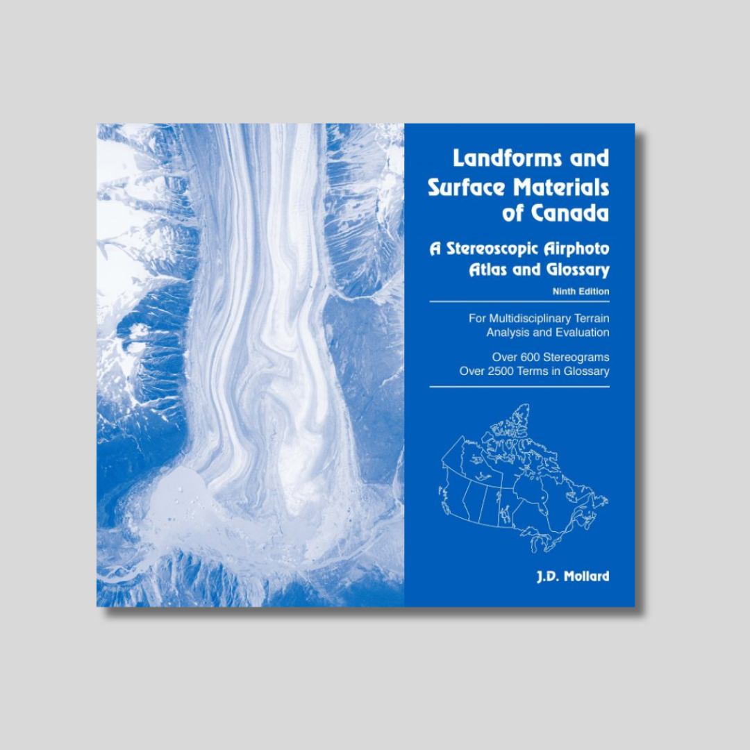
Landforms and Surface Materials of Canada – 9th Edition
This book was first compiled and published by Dr. J.D. Mollard in 1972 and is now in its 9th edition. The 681 stereograms are representative of Canadian terrains interpreted from air photos on approximately 4,000 multidisciplinary consulting assignments for government and industry. Many of these stereograms have been interpreted and discussed interactively in short courses, seminars, workshops and university courses on applied air photo interpretation and remote sensing presented across Canada and on-line. Interpretation of the three-dimensional aerial scenes assist those wanting to identify, map and evaluate Canada’s landforms, surface materials and physical environment…in particular, those wishing to explore and develop Canada’s natural resources, or to map, monitor and manage the environment. Information interpreted from air photo stereograms and have been applied across a large number of disciplines and consulting studies dealing with engineering and the sciences.

